Warm Weather Brings Second Wettest December on Record
An uncharacteristically rainy Minnesota Christmas has many asking “why?”
According to Steve Reckers, a weather observer based in New Hope, this year’s warm and damp December is a rarity.
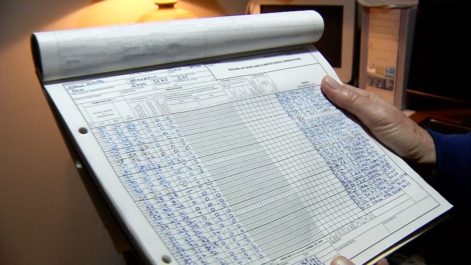
Reckers has been a volunteer for 55 years, watching the skies from his home for the National Weather Service.
He said this has been the second wettest December on record with 2.88 inches of rain. The wettest December was in 2010 with 3.38 inches, but that included some snowfall.
He also said this has been the warmest December on record dating back to the 1870s.

New Hope-based weather observer Steve Reckers shows off a chart documenting weather conditions.
“Three straight days over the Christmas holiday with maximum temperatures 50 [degrees] or higher,” Reckers said. “You might get one or two in December once in a while. Certainly not every year.”
Reckers said the higher temperatures likely come from an oceanic warming pattern.
“A lot of people think its a very strong El Niño,” Reckers said. “When we get El Niños, its a warming of the Pacific Ocean. It frequently drops the storm track further south. So you get more storms in the southern part of the United States, and the northern tier of that blocks the cold fronts coming from Canada.”
Another source of the warmer weather could be effects of climate change.
Reckers said temperatures will likely stay above average, but should drop down as the winter continues.


