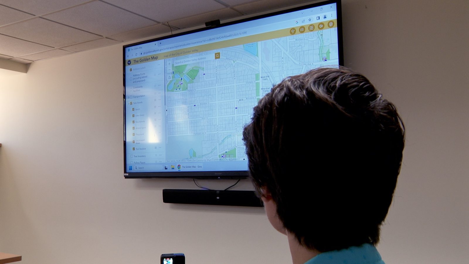
Golden Valley Unveils New GIS-Powered Golden Maps
The City of Golden Valley recently unveiled its new GIS-powered, interactive mapping program that residents can now use as they search for amenities in their community and other city services.

Golden Valley planners recently unveiled Golden Maps, a GIS-powered mapping program that residents can use to search for a variety of city amenities and other information.
The Golden Map is online and offers multiple layers of information that is updated as regularly as the city gets in new information about utilities, street construction, park amenities–and more.
“You can turn on and off all of these GIS layers and explore the data for yourself,” said City GIS Specialist Heather Hegi. “Maps nowadays are more than just lines on a map. It’s the data behind the lines, the points.”
There are interactive recycling pick-up day maps, election and polling places maps, parks and recreation option maps, and more.
“In public works, in utilities, we use it a ton,” said Hegi. “The maintenance guys are always documenting what maintenance they’re doing: the last time they flushed that hydrant, the last time they repaired that catch basin, you can identify that structure and get a good sense of the maintenance that has been done on it and when it may be due for maintenance.”
To commemorate GIS Day, the city is hosting an open house on Wednesday, November 20, from 2:00 p.m. to 6:00 p.m. in the second floor council conference room. Hegi and other staff will be there to answer questions about The Golden Maps and other programs the city has available.


